6 April 2026 · Bruce Hearder · 6 min read
location-researchStop Guessing and Start Digging: How to Find Your Own Gold Mine Without Leaving Your Desk
Stop Guessing and Start Digging: How to Find Your Own Gold Mine Without Leaving Your Desk
Most prospectors spend their weekends driving through the bush, swinging a detector at random and hoping to get lucky. This "hope-based" prospecting is a recipe for frustration and wasted fuel. Professional geologists don't find gold by accident; they find it by doing their homework. The secret to commercial-grade results is that the exact same tools used by industry professionals—comprehensive Western Australian government databases—are completely free and accessible to anyone with an internet connection. By shifting from a "weekend warrior" mindset to a data-driven approach, you can identify high-potential ground before you ever leave your house.
- The "Abandoned" Label is Often a Hidden Opportunity
When searching the MINEDEX database (minedex.dmp.wa.gov.au), many amateur prospectors see a site labeled as "Historical - Abandoned" and keep scrolling, assuming the gold is gone. In reality, this label is often a positive signal.
Look for clusters of mine markers rather than lone indicators. For example, if you search near a town like Menzies and see eight mine markers within a 5 km radius, you’ve found a cluster worth investigating. A status of "Historical - Abandoned" frequently means the site was worked briefly and left, which is fundamentally different from being "Mined Out."
The technology used in the early 20th century was limited by mechanical constraints, not geological ones. As the data shows:
"Workings at 10-20 metres were often stopped because the equipment could not go deeper — not because the gold ran out. That can be your opportunity."
If a mine shows production records from the 1920s—even small amounts like 234 oz—it proves the geology works. These shallow workings often left behind untested zones or deeper mineralisation that were simply inaccessible to old-timers but are well within reach of modern detectors.
- Follow the "Splays," Not Just the Main Faults
Using the structural layers in GeoVIEW.WA (geoview.dmp.wa.gov.au), you can identify the "geological highways" that gold travels through. While it is important to be within five kilometers of a major regional fault line, the most productive ground is rarely on the main highway itself.
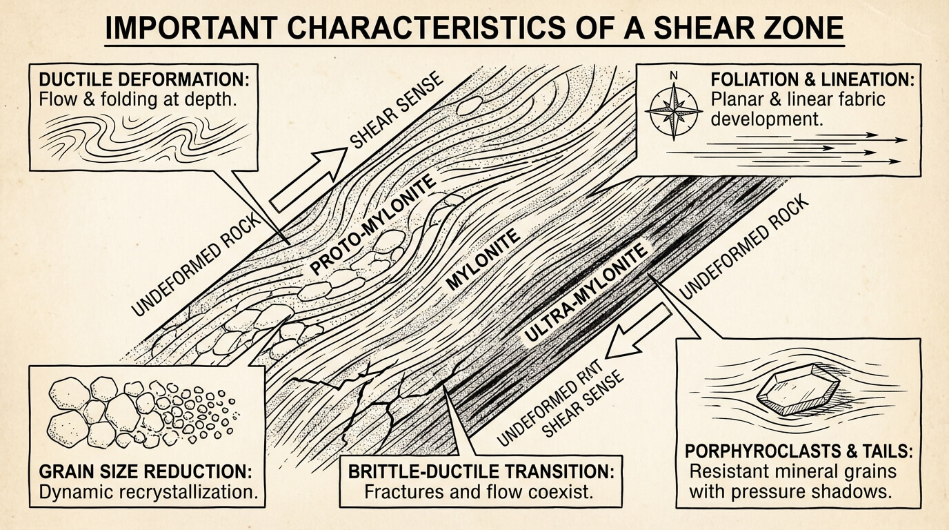
The Zuleika Secret: Focus on Geological Complexity Gold loves complexity. Take the Zuleika Shear near Kalgoorlie; it is a major "highway" that has produced gold along its entire length. However, the smartest move is to look for "splay faults"—smaller branches that veer off the primary structure.
Instead of prospecting directly on a main fault trace, look 200 to 500 meters on either side for these splays. Many significant nugget patches are located exactly on these smaller branches. On your map, look for a "north-south" line of old workings; these usually follow a quartz reef or shear zone. This line is your target corridor. If you find a narrow, folded band of greenstone with frequent color changes and irregular contacts, you have found a high-priority zone.
- Mining Companies Leave Doors Open (WAMEX Anomalies)
Mining companies are driven by budget cycles and corporate priorities. When a company relinquishes a tenement, they must file a "Final Relinquishment Report" in the WAMEX database (wamex.dmp.wa.gov.au). These reports are a gold mine of "unfinished business."
Search for reports from the last 30 years using the names of mines you found in MINEDEX. Once you open a report, use Ctrl+F to search for keywords like "soil," "anomaly," "RC drilling," or "ppb." You are looking for soil sampling results where values exceed 10 parts per billion (ppb), with anything over 50 ppb being highly significant.
"Anomaly B returned 85 ppb but was not followed up due to end of budget period."
That quote, pulled from a Final Relinquishment Report, is an open invitation. Furthermore, look for "RAB" or "air core" drilling results. Any drill hole returning visible gold or results over 1 g/t at shallow depths (2-8 meters) is a major signal that detectable gold is sitting just beneath the weathered profile.
- The 5-Minute Check That Saves a 6-Hour Drive
One of the most common mistakes in prospecting is ignoring the tenement status found in the TENGRAPH database (tengraph.dmp.wa.gov.au). There is nothing more frustrating than driving 400 kilometers only to realize your target site is a Mining Lease (M) that you cannot legally access.
Before you leave, check the tenement type:
- Exploration Licences (E): These are generally open to you. The company has exploration rights, but they do not have exclusive occupation of the surface.
- Mining Leases (M): These are restricted. You must contact the holder and obtain a "Visitors and Prospectors Agreement" before visiting.
To stay legal, you must hold a WA Miner's Right. It costs $25.35 per year and can be obtained from any Mines Registry office. This allows you to prospect on Crown Land and most Exploration Licences, provided you’ve used TENGRAPH to confirm the ground isn't part of a National Park, Aboriginal Reserve, or restricted Water Catchment area.
- Look for the "Contact Zone" (Pink vs. Green)
When viewing geological maps on GeoVIEW.WA, use a simple visual shorthand to find the most promising ground. You are looking for the "Granite-Greenstone" relationship, famously exemplified by the Norseman-Wiluna Belt.
On the map, green and grey tones represent greenstone sequences—the rocks that host the vast majority of Western Australia’s gold. Felsic intrusions, such as granite bodies, appear as pink or red. The "contact zone"—the line where the pink granite pushes up against the green volcanic belt—is the "gold mine" of map reading. These areas of intense geological pressure and heat are where gold-bearing fluids are most likely to have been trapped. A wide, uniform block of color is less interesting than a narrow, irregular contact zone where different rock types meet and twist.
Conclusion: From Luck to Logic
Success in the field is rarely the result of luck; it is the result of homework. By moving through MINEDEX for history, WAMEX for sampling data, GeoVIEW.WA for structural geology, and TENGRAPH for legal access, you transform yourself from a hopeful wanderer into a strategic prospector.
Professional-grade data is waiting for you in these free databases. The only question left is: Are you going to drive 400km on a whim, or are you going to follow the data that's been waiting for you all along?
For those looking to streamline this process, tools like GoldProspectingWA.com can pull these disparate data points into a single map, allowing you to focus on the hunt rather than the paperwork.